The Road
April 3rd 2023
Rob
April 3rd 2023
Rob

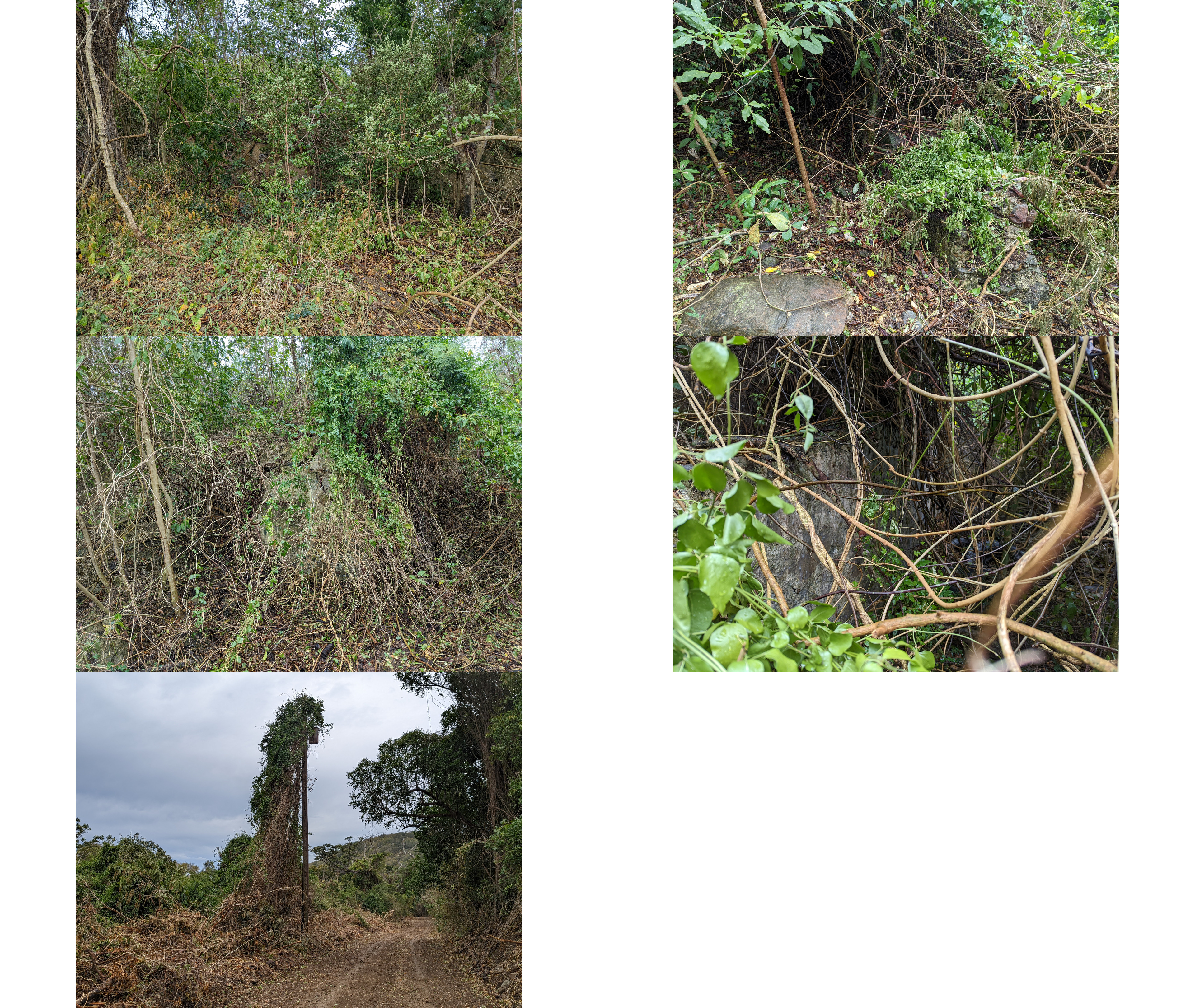
Given the age of the subdivision of the land, and the court case (to be covered later) which created the various parcels the previous private road seems to have run in to disuse (yay! but also so much work).
We have learned from a few locals that grew up around here there used to be a gun range, various PeaceCorp projects, and quite a few old buildings that have "gone to bush." The last phrase may be understating the issue a little bit.

Anyway, our original route was a hand carved footpath up the hillside in which we discovered various fun aspects about the wildlife here. For instance, the spiders are amazing and the Jack Spaniard wasps around here make a tiny nest that's difficult to always spot, but carry a really annoyingly painful sting. We also took the long way.


But that's ok, it was a learning experience and we were able to get a better feel for what we are up against in getting built and growing food.
Which brings me to one of the coolest resources I've found from the USGS yet. The 3DEP Lidar Explorer allows download of all their data (and the source point clouds!) for post processing or use. In this area, they did a Lidar survey in 2018, USGS Lidar Point Cloud PR PRVI VI B2 2018 20QKE36151820 is the name of the data set for this area and can be seen with this viewer. As you move around and zoom in the point cloud gets more and more detailed. Here's a starting point in the valley leading up to us, if you left click you can move the camera direction and make out quite a few trees!
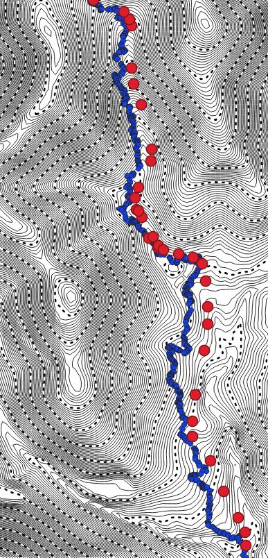
Anyway, from this data we can derive some pretty incredible things and get a nice topo map that pretty clearly shows the outline of the existing road (and we've verified these points with our Emlid Reach RS+ and the survey. Pretty wild all this data is available.
